THE BIKEPACKING GUIDE : ROUTE PLANNING
Route planning is the starting point that will make the adventure real, allow you to imagine the road ahead and begin to establish your route plan. How many kilometres per day, where to sleep, which will be the hardest sections, where to eat, and more. Matthieu Lifschitz takes us through his route planning considerations.

Paper AND Digital
Paper maps are definitely still current and very much enjoyed by bikepackers. The charm of a large unfolded map or even better, a relief map to help comprehend the elevation to be encountered, remains a good method to have a larger view of the route.
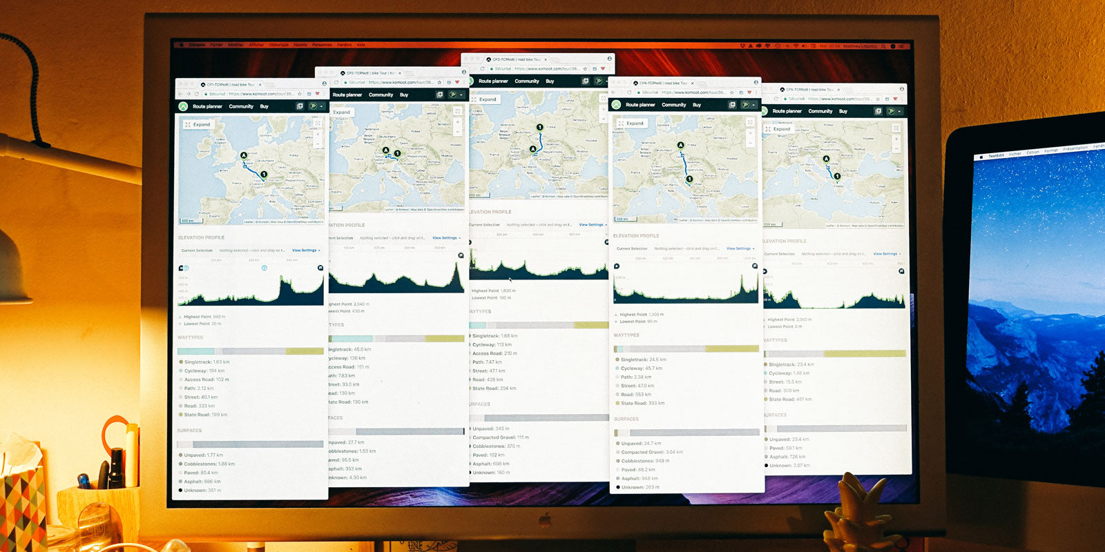
Of course, today specific tools are available to plan and upload entire routes to your GPS. The best-known applications are Strava, Komoot, Open Runner and Ride With GPS. I use two of them : Komoot and Ride With GPS, and once the route has been established I check it with street view on Google Maps to see the reality of the terrain.

Komoot is the most intuitive, the ease of plotting the route from point A to point B is incredible. There is a lot of information available on the different surfaces and types of roads, but nobody is perfect and Komoot sometimes automatically takes routes that are too rough. The counter-balance is Ride With GPS. Although less modern in its design and functionality, the varied background maps of this application and, conversely, its tendency to take you on big roads, will help you find the right balance according to the desired adventure.
The Choice Of Road
The choice of road depends on the objective.
The smallest and the unpaved roads are mainly reserved for relaxed randonées, adventures where you have time to explore and space in your bags to take food and all the sleeping equipment you need. Taking big roads is dangerous, stressful, and will eventually tire you out faster than you might think.

If a notion of performance comes into your adventure, there is a middle ground. The minor backroads of many countries are safe and still provide a good surface to maintain speed. Plus they cross towns where you can find the usual services : restaurants, grocery stores, small hotels that take last minute bookings, or shelters to set up your bivy : a bus stop, the forecourt of a church, or a school playground. Be aware that the fastest parcours is not necessarily the straightest. A detour of 30km is worth it if it means you avoid a high mountain pass or an extended gravel section.

Food Stops
No matter what meal, time of day, or state of hunger you might be in, it is necessary to anticipate well in advance. In France for example, in the most remote regions, most places only stay open for lunch between 1pm and 4pm. For breakfast it’s the same, don’t expect to find coffee and croissants every time you stop. Always be a little ahead by keeping a stock of food on the bike - some cereal bars or half of your last sandwich in a pocket has saved many bikepackers several times.
A top tip has to be the bikepacker’s best ally - the petrol station. Long opening hours, fast service directly at the cash desk, refrigerators full of drinks and snacks, spare batteries for a headlamp, toilets, etc.. You’ll grow to love them.
Sleep Stops
If the adventure is wild and without time limits, ultralight tents will allow you to stop anywhere in the wilderness and enjoy the calm. If you are taking part in a challenge or a bikepacking race a bivy set-up as light and compact as possible is the solution. Remember, small roads = few shelters but guaranteed tranquility. Big roads = many possibilities but more exposure.
On events ranging from 2000 to 4000km, some people choose to always sleep outside but most will plan for a hotel a couple of times throughout the event to help recovery, wash clothing, and generally rejuvenate themselves.

Following The Route On The Road
Once your route has been established, all you have to do is transfer it to your GPS. A whole host of more or less reliable solutions exist. The choices are very personal but experience suggests you should focus your choices on simplicity and robustness. Garmin and Wahoo lead the market and have a range of computers with different options of functionality.
Rather than cutting your route into smaller segments, it is beneficial to have the full version on your computer in front of you. This allows you to manage your effort whilst having a permanent vision of what remains to be done to reach your target.

Getting Lost
Despite all the planning, checking, and double-checking, the strong likelihood is that you will still get lost. Don’t panic, finding a solution to each problem is part of the adventure.
This is where smartphones are useful back-ups to GPS computers. Via the mobile apps, you can download your maps and access them even when you have no service – perfect when you find yourself looking for alternative roads and get-out-of-jail options.

But try not to become 100% dependent on what’s on the screen. Lift your head, read the sign posts, the sky, the mountains. And if all your equipment breaks down, just go straight ahead, the adventure starts here….


